Design and Access Statement
Warwick Road South
The Design Vision
At the start of the project, the client and the design team agreed the key design considerations to drive all decisions for the project.
Post Pandemic Living; The Covid-19 pandemic has dramatically changed living and working practices, and it is anticipated that many of the changes will remain once Covid-19 is under control. Working from home has become more normalised and sufficient space must be allowed for this to be integrated into the design. Private and shared amenity has been crucial for people who were not able to venture out dedicated parks. Having a garden is important, but it is also important to offer shared spaces to foster a sense of community and collective support.
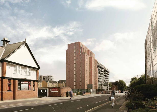
Contextual Scale; It is important that the proposal considers the context and looks to it to influence the scale and mass. Our aim is that the proposal will be appropriate and sit well in the context of Warwick Road South and also the wider area extending towards the surrounding residential properties and the Trafford Civic Quarter.
Considered Approach to Massing and Articulation; The massing and articulation of the building needs to be well-reasoned and considered. The proposal must demonstrate a well worked and high quality approach and be articulated in a way that complements its own scale and mass and that of surrounding buildings.
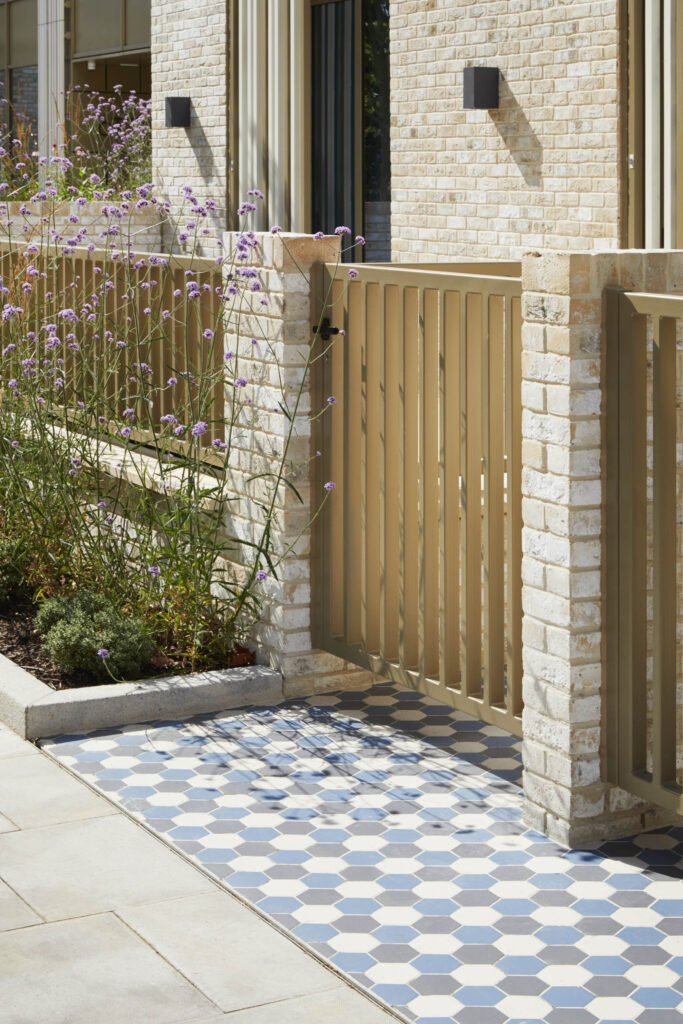
Appropriate Architectural Language and Materials; The building must deliver and appropriate and considered Architectural language influence by its context. High quality and locally referenced materials should provide a modern building that will contribute to the neighbourhood.
The Site
Description of the Site
Local Developments
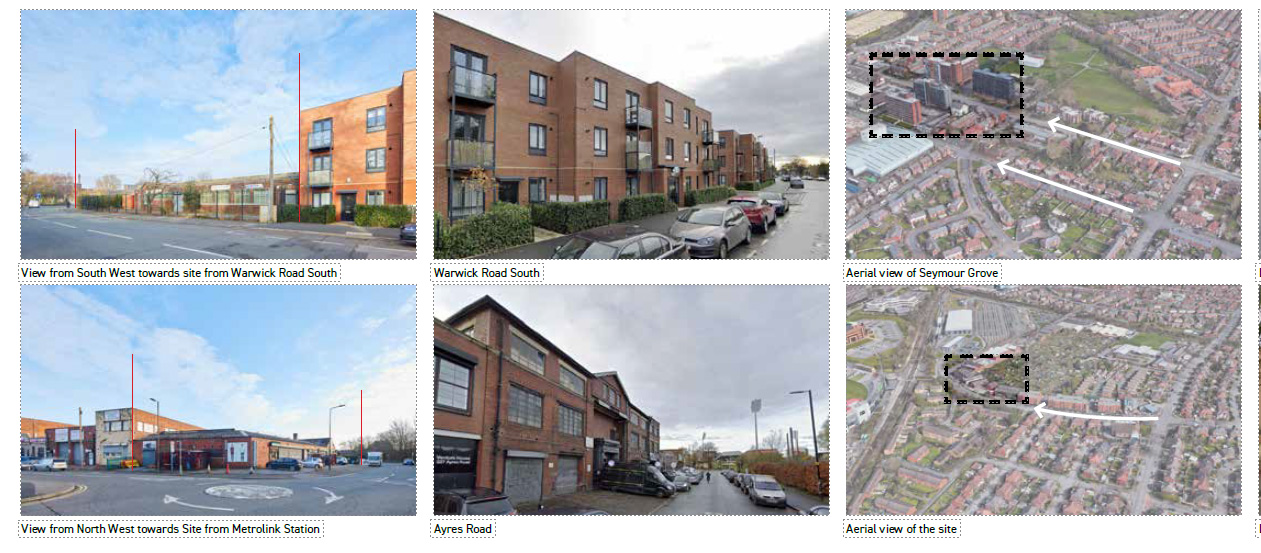
The development on the former Kellogs Site forms part of the Civic Quarter Area Action Plan developments and is adjacent to the Metrolink route. The site will include 750 homes, 200,000sq.ft of office space, a primary school, hotel and shared public space. A series of three storey apartment buildings were
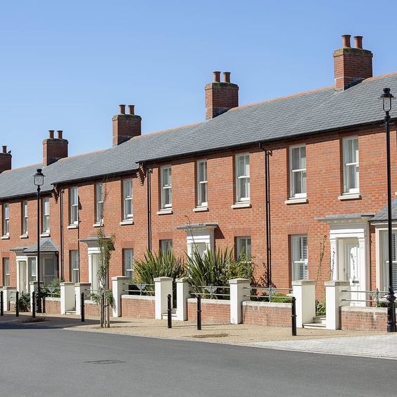
constructed in 2016 immediately south of the site. These buildings are constructed in red brick, subdiving the mass in to three blocks with parking and some external amenity at the rear.
Local Green Spaces
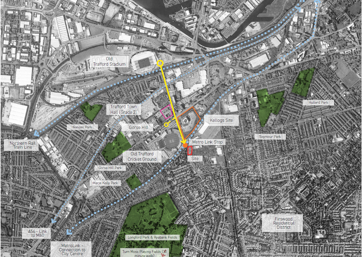
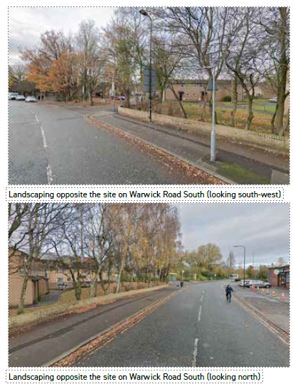
Whilst there are several parks and green spaces around a 10 minute walk away, there are few green spaces in the local area. There is a small amount of green space opposite the site across Warwick Road South, however most of it is behind a dwarf wall and part of a residential development. There is an area of private allotments to the east of the site which are well used and maintained.
Image showing the existing site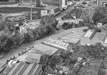
How the site influenced the design
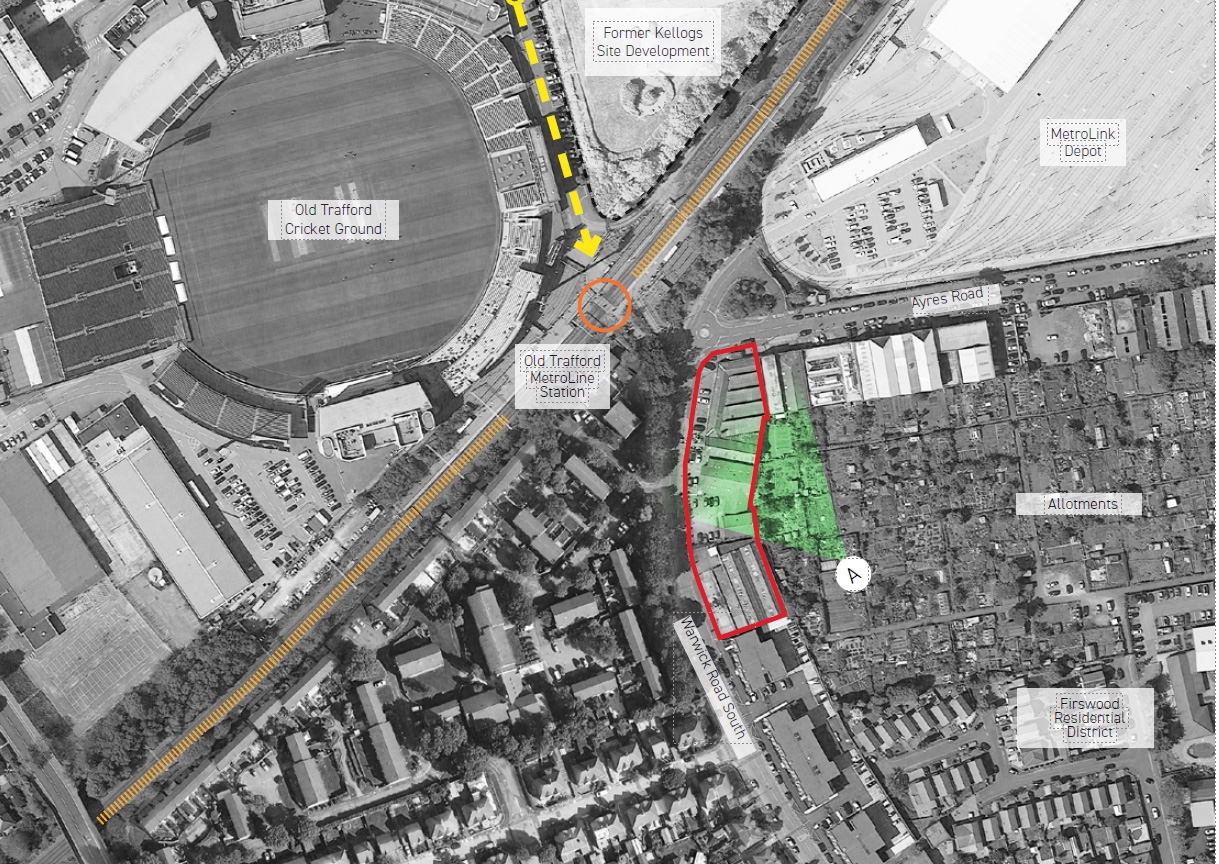
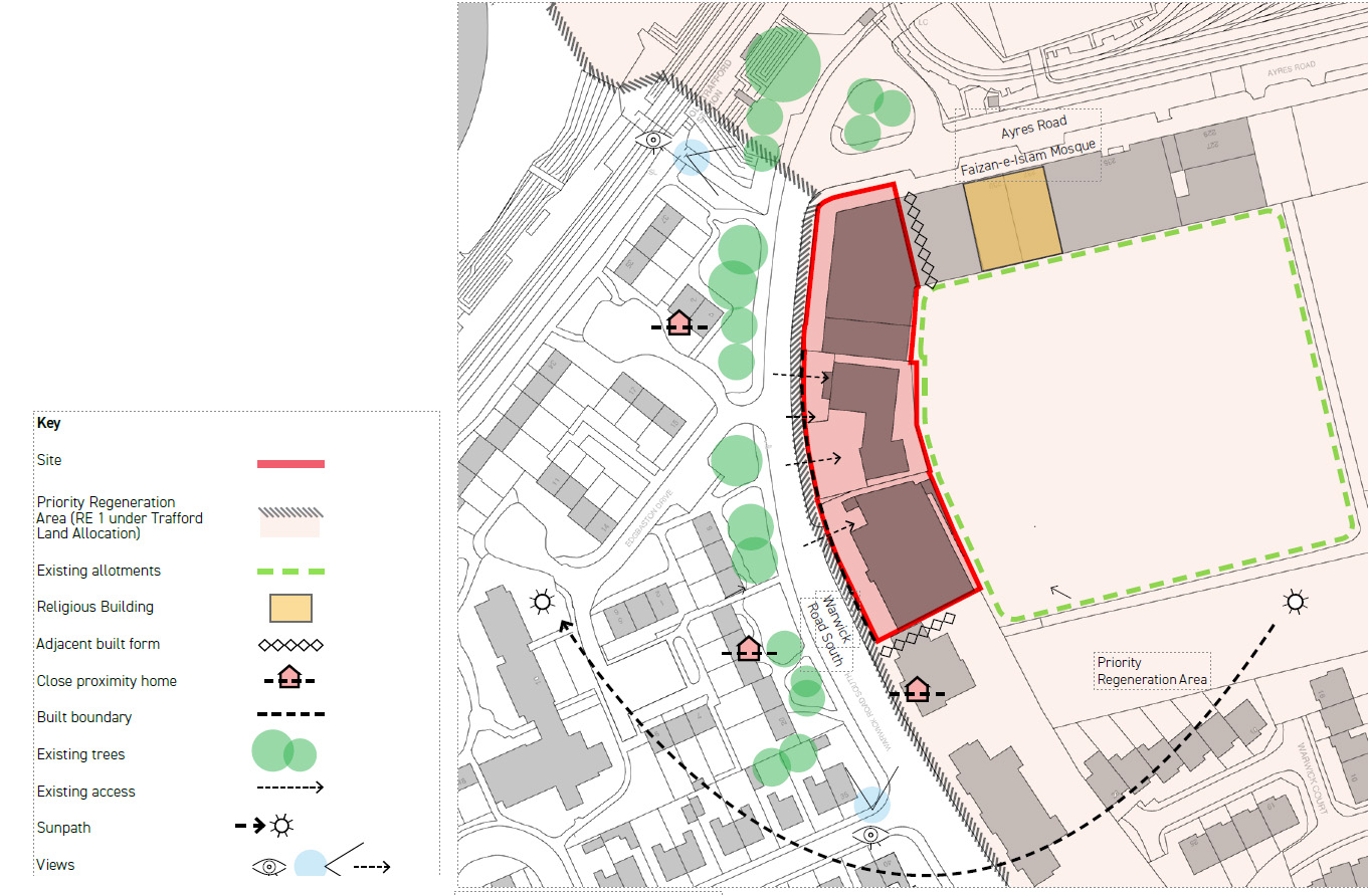
The adjacent Opportunities and Constraints Diagram has been developed to inform the proposals, identifying key aspects of the context to respond to.
• The built forms adjacent to the eastern and southern boundaries.
• The existing allotments to the east
• The proximity of the residences across Warwick Road South.
• Importance of the north-west corner of the site in regards to placemaking and views.
• Existing access points and built boundary from Warwick Road South.
• The “Priority Regeneration Area” allocation by Trafford Council in their draft Land Allocation Plan.
Figure shows how the site has influenced the design
Description of existing features that have been retained
No existing features retained
The Context
The surrounding context summary
The adjacent Opportunities and Constraints Diagram has been developed to inform the proposals, identifying key aspects of the context to respond to.
• The built forms adjacent to the eastern and southern boundaries.
• The existing allotments to the east
• The proximity of the residences across Warwick Road South.
• Importance of the north-west corner of the site in regards to placemaking and views.
• Existing access points and built boundary from Warwick Road South.
• The “Priority Regeneration Area” allocation by Trafford Council in their draft Land Allocation Plan.
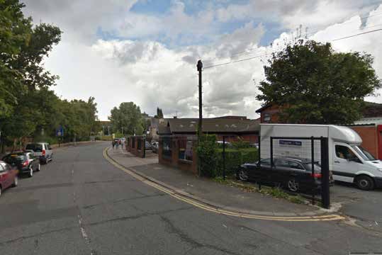
Images showing the surrounding context
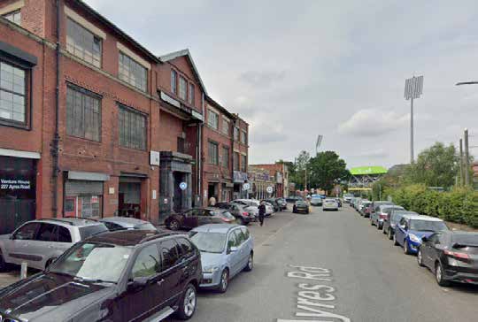
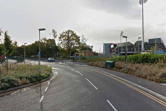
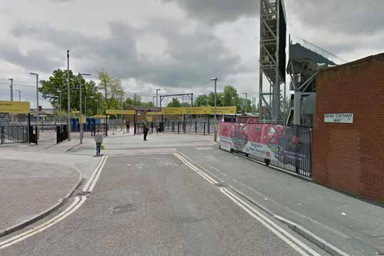
The site is located between the districts of Firswood and Gorse Hill. Firswood is primarily a residential district, largely comprised of 2 storey semi-detached property and associated schools. Gorsehill is made up of similar semidetached and terraced residential property alongside some retail and Trafford College.
The site sits at the junction of Warwick Road South and Ayres Road, adjacent to the Old Trafford Metrolink station which offers excellent transport routes to the city centre. The Metrolink station is the head of a key pedestrian route connecting the Old Trafford Metrolink Station to Trafford Cricket ground and Old Trafford Football Stadium.
Local Landscaping and Amenity
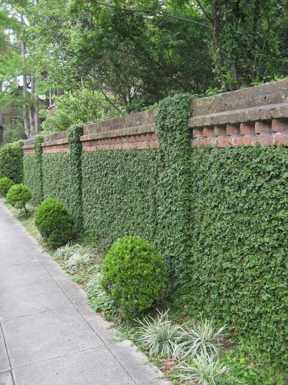
Landscaping and amenity space near the site is limited, with the primary local amenity being the nearby parks. Opposite the site across Warwick Road South is a landscaped buffer separating the houses from the road. Planting with trees offers some level of screening and separation, supplemented by the dwarf wall.
Local Building Forms
The surrounding buildings to the south, east, and west are predominantly semi-detached houses of 2 storeys with pitched roofs. This changes near to the site, as the varied use of building along Ayres Road means the heights of the flat roofs frequently change. Immediately south of the site along Warwick Road South are new three storey apartment buildings with flat roofs.
Local Materiality
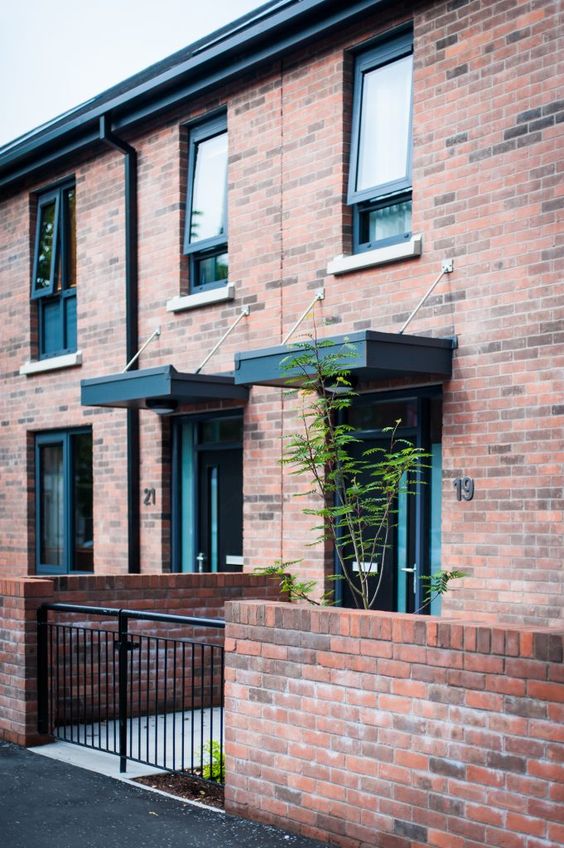
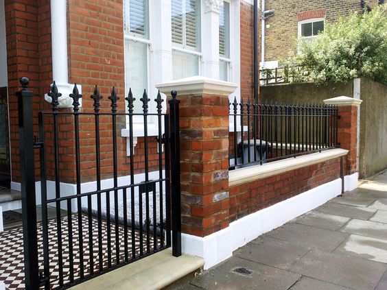
The local material palette is almost entirely red brick. Whilst most of the local buildings are typical semidetached dwellings, red brick is also used throughout other types of building such as St. Hilda’s Church on Warwick Road South, the nearby King’s Road Primary School and the larger buildings on Seymour Grove. Many of the industrial units to the north are constructed with grey cladding, however the location of the buildings and offset from major roads means the presence of this material is not as heavily felt.
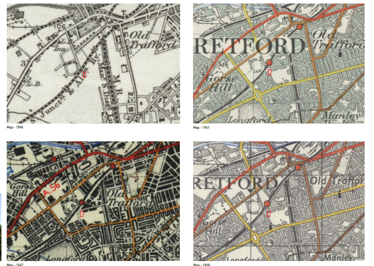
At the turn of the 20th century, the surrounding main road, rail, and canal networks were established however there was a lack of built footprint in the area. This land was built upon and a network of secondary roads established, creating what is now Warwick Road South and Ayres Road (see map 1947). Over time, the density increased and built form provided a boundary to the road, leading to the establishing of building on our site by the 1960s providing a corner to the Warwick Road South/Ayres Road junction.
Yes
Local Street Forms and Massing
As the primary building form nearby is 2 storey semidetached property, the street network is set out to
accommodate appropriate offsets. This creates a network of grids and concentric circles. When moving north along the roads towards the railway and roads which feed towards Manchester, there is a precedent of increased building size. This can be seen along Stretford Road and Seymour Grove in particular