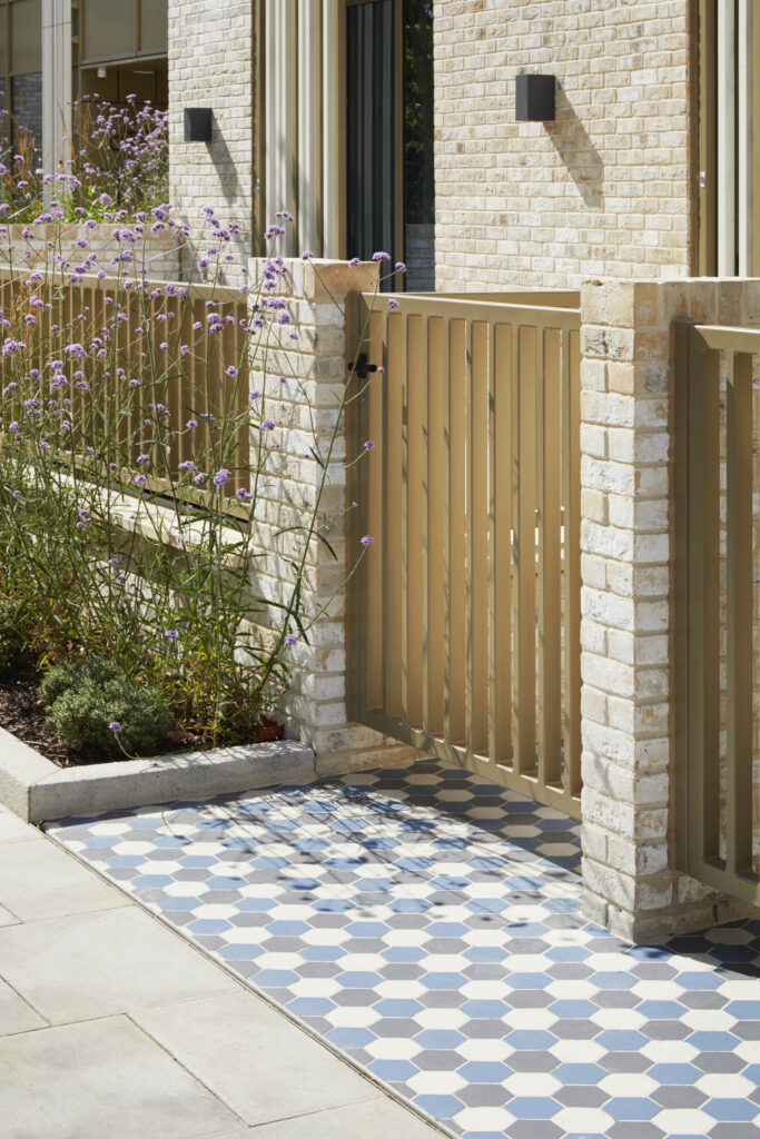
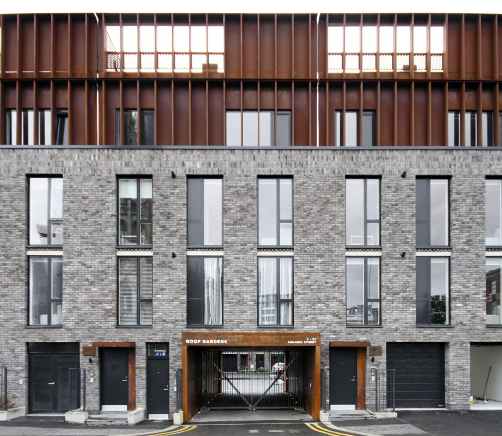
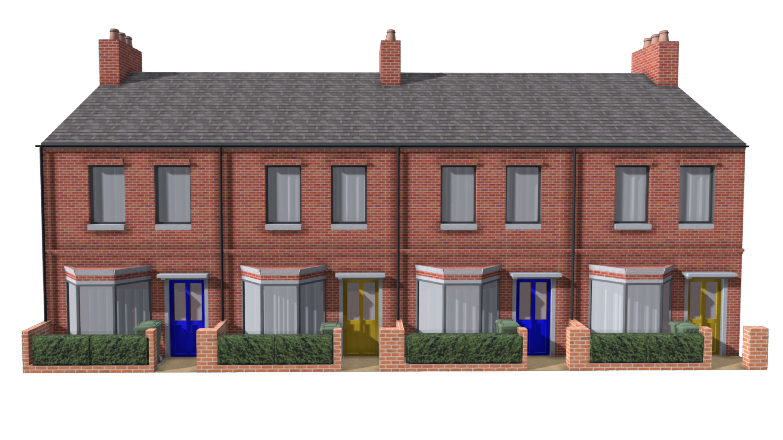
Trafford Design Code

Help Guide

How to use a design code

Introduction

The Trafford Design Code has been split into a variety of sections, relevant to development types. This ensures that you can find the relevant design code for your project easily and quickly. For those applicants with a small single building project they may only be expected to comply with one section. For larger mixed use projects the amount of sections you will be required to comply with will increase. For examples of how this work please see below.

An example design code

Code Title
Add Your Tooltip Text Here
Code Number
Add Your Tooltip Text Here
Code
Add Your Tooltip Text Here
Example
Add Your Tooltip Text Here
Compliance
Add Your Tooltip Text Here
Principles
Add Your Tooltip Text Here
Description
Add Your Tooltip Text Here

Code Number

Allows for easy referencing. Based on the initials of main section and sub-section and number for code on the page.


Design Code

This is the content of the design code and sets the main regulation to be acheived. The terminology of ‘must’ and ‘should’ will explain whether a code is mandatory or recommended best practice guidance.


Description

This contains additional information that gives justification, and explains why something is important. If there are any exceptions to the rule these will also be explained.


Example

This may be an image, diagram or examples of built projects to help visualize the design code and what is expected.


Compliance

A short statement to explain what an applicant must do to demonstrate how they have complied with the design code or in some instances, justify why they have not complied.


Principles

In some cases there may be a number of different ways for achieving the overall objective of the code. Here we will set out the choice of principles or combination of principles that must be achieved in order to satisy this requirement

Further help and guidance

The design code is as visual and illustrative as possible, using images over words whenever relevant. The code is not intended to be exclusive to professionals only so the use of technical terms has been minimized and a glossary of terms provided to ensure the code is accessible to everyone in the community. We have therefore used a variety of graphical images, diagrams and models to allow users to explore and understand what high quality design looks like. There are also simple calculators to assist with technical areas such as density and massing.

Virtual reality models

All 3D models can be explored using smartphone or headset virtual reality. This allows users to experience the scale, design, views and human scale of projects

Interactive diagrams

Hover over diagrams with mouse to reveal the technical diagram overlay 

Principle diagrams

In some instances, users must address a variety of different principles to achieve compliance. Below shows some examples of accessible footways and approaches to entrances

Explorable 3D models

Users can explore models to understand how places work in 3D. Users can scroll through annotated points to visual represent the point of the design code

Calculators

There are a number of calculators helping users to calculate certain complex figures or scores such as the urban greening factor or these examples below regarding density and massing.

Built example libraries

Examples of built projects from local area, Europe or around the World.

Streetscape generators

Built environment generators allow users to visualize how places can look and test design solutions such as widths, heights or design.

Before and after examples

Users can easily view before and after design interventions, allowing them to visualize better design solutions.

Case Studies

Examples of UK completed projects relevant to the design code sub-chapter. All case studies show aerial views, street view and site photographs. 

Image shows the Roof Gardens Building in Manchester

The Roof Gardens

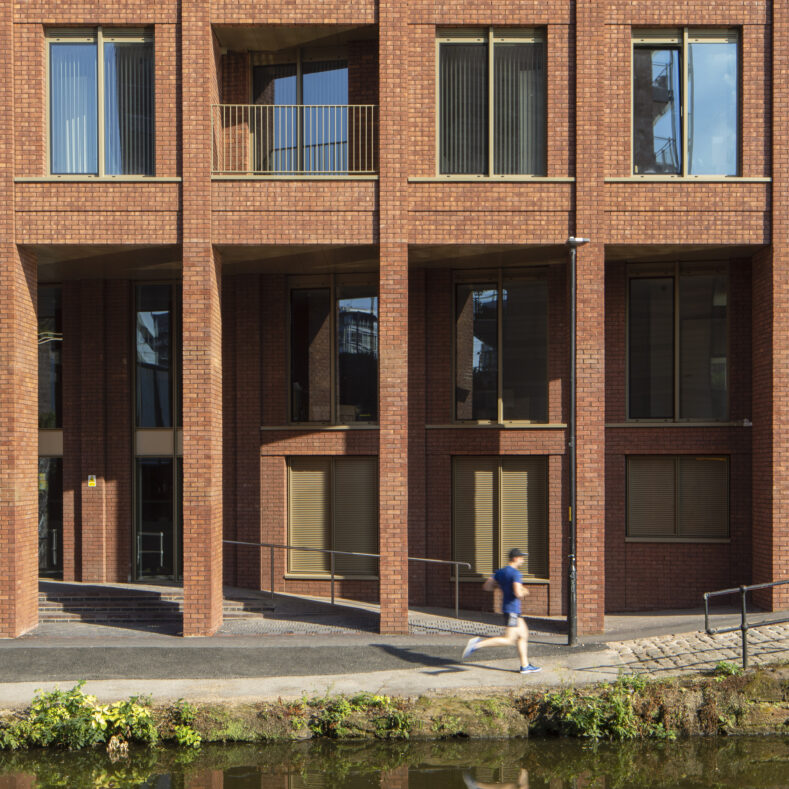
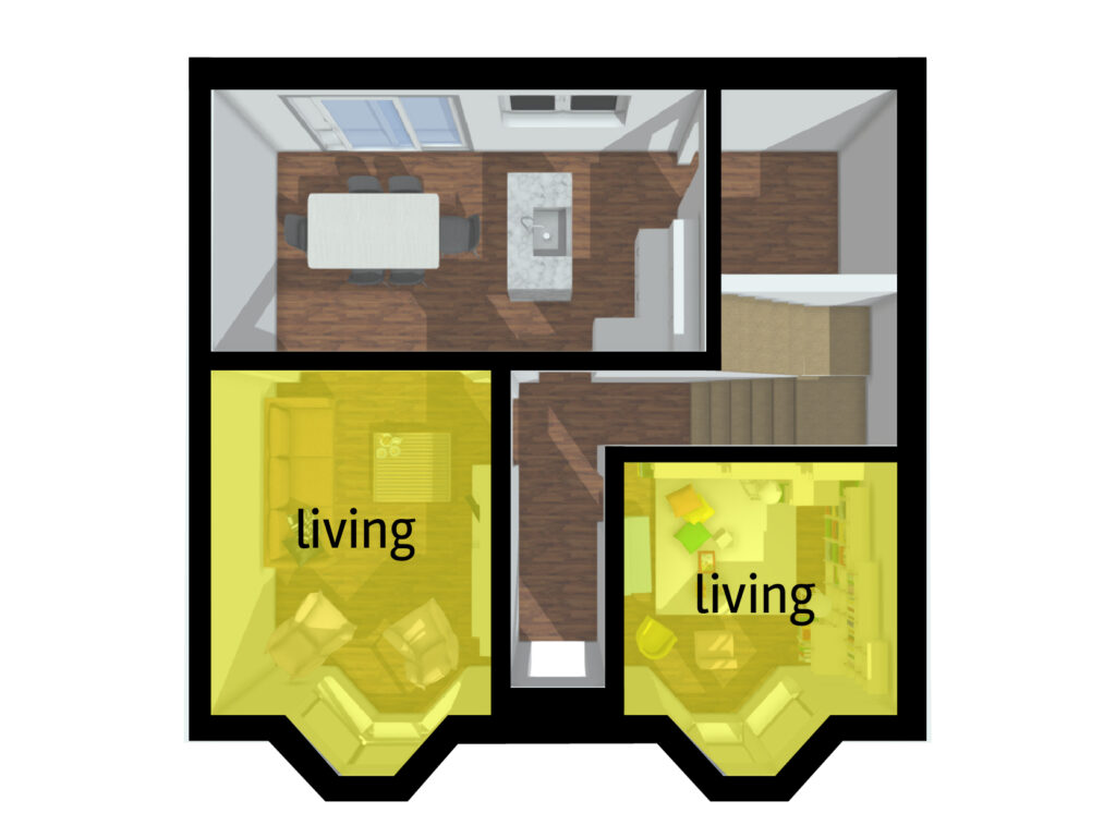
The Roof Gardens by Ollier Smurthwaite Architects for DeTrafford Estates. The perimeter block layout and back-to-back  dwellings delivers a site layout which responds to  the

Read More »
Photograph showing the Warehaus project by OMI Architects

Warehaus

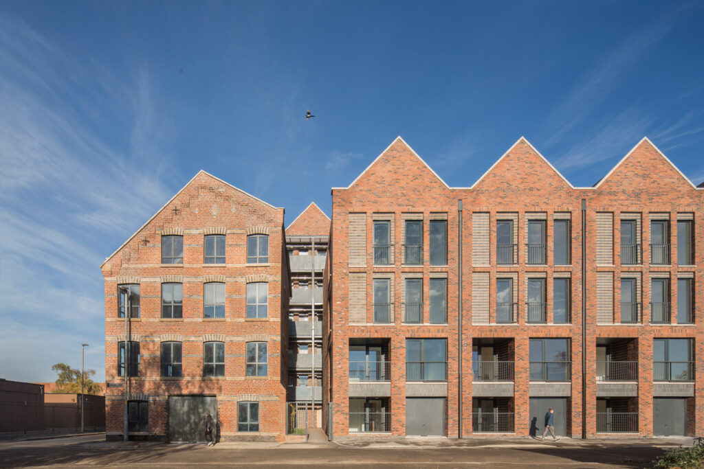
Warehaus by OMI Architects for GW Developments Within the Ancoats Conservation Area the development comprises of the restoration of an existing historic mill building and

Read More »
Photograph of the Excelsior Works building in Manchester

Excelsior Works

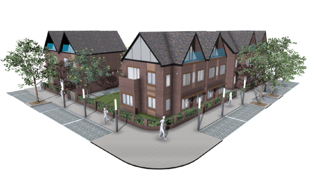
Excelsior Works by Tim Groom Architects for Mulbury City The building occupies a pronounced location on the corner of Hulme Hall Road and converges upon

Read More »

Step by step guides

Visual step-by-step guides displaying how simple design changes can achieve best practice solutions

Aerial views and street views

Using aerial photography, street views and 3D models to demonstrate importance of context and allow users to explore areas from new perspectives

Maps, plans and 3D models

Using a variety of geospatial display solutions to reiterate the design code objective or allow uers to explore the area easier

Permeable paving options