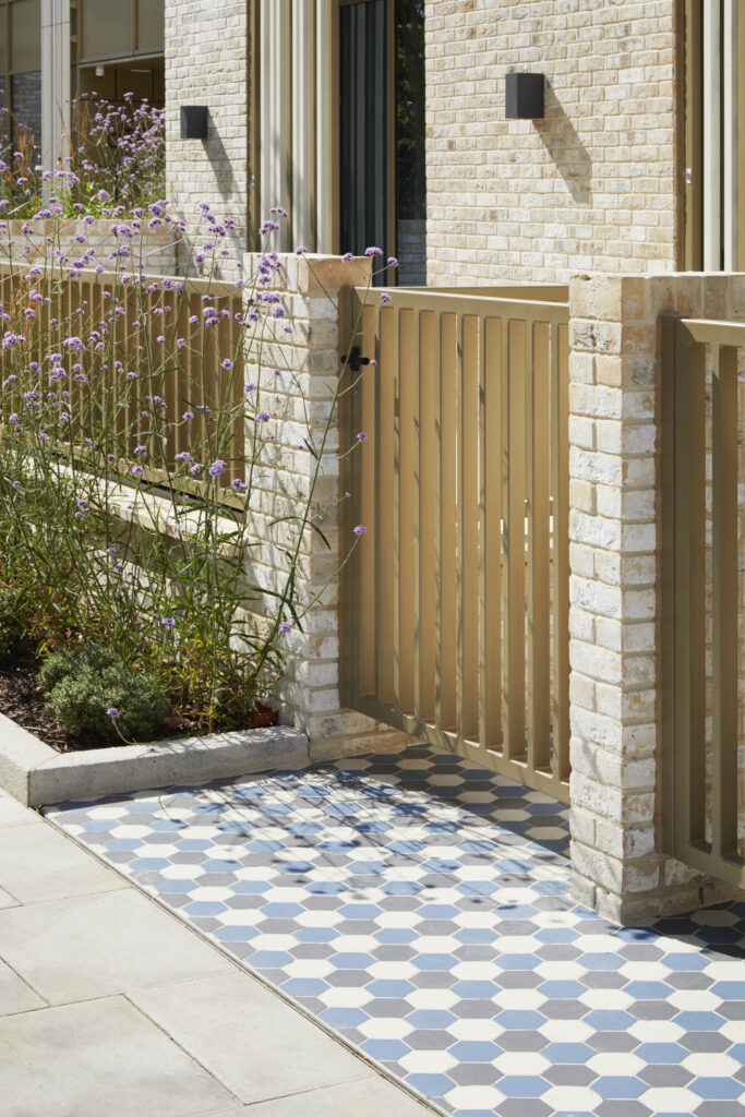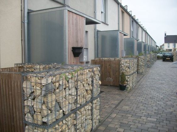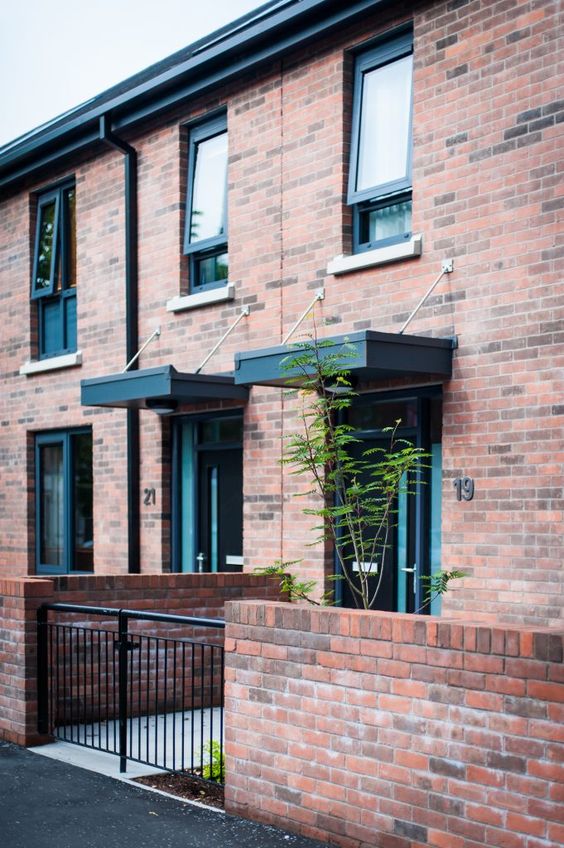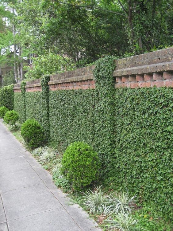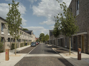
Goldsmith Street
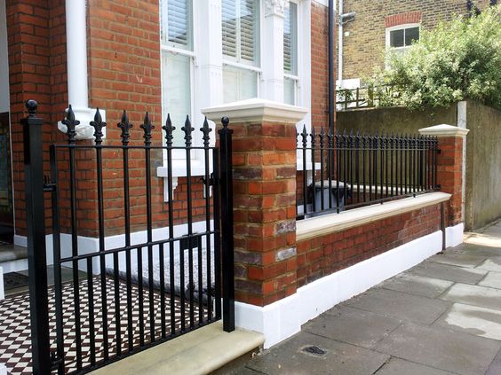
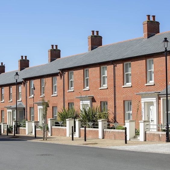
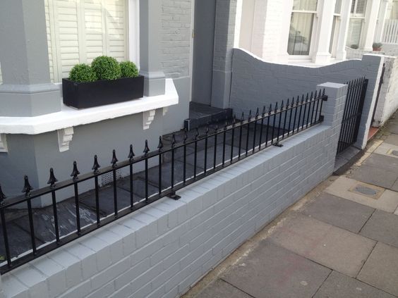
Goldsmith Street by Mikhail Riches TBC Map Street View Map Street View Gallery
Responding to local context is just as important in the design of streets as it is in buildings and structures. The design of a new street should consider the intended land use, especially in new developments or in areas of regeneration where land use might be changing. The street design should clearly show how this response has been achieved.
Active travelMaking journeys by physically active means like walking, wheeling or cycling, rather than motor vehicle. More routes must optimise opportunities to introduce links within, through and beyond the site to connect with existing routes and destinations, including local amenities such as parks, schools, shops and public transport corridors. Active travelMaking journeys by physically active means like walking, wheeling or cycling, rather than motor vehicle. More routes must be safe, attractive and legible.
Applicants should demonstrate in their submission how this element of the code has been complied with.
Area types:
Documents required:
Safe separated cycle lanes provided where space allows on all new streets, alongside adequate facilities for storage
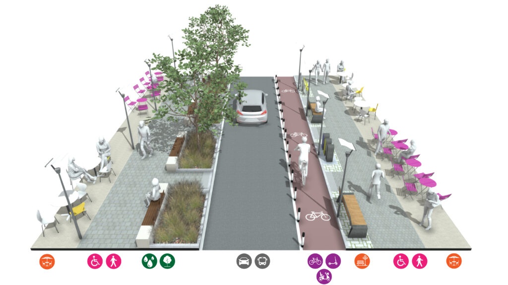
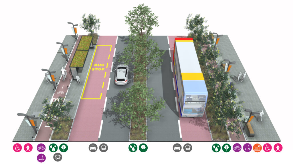
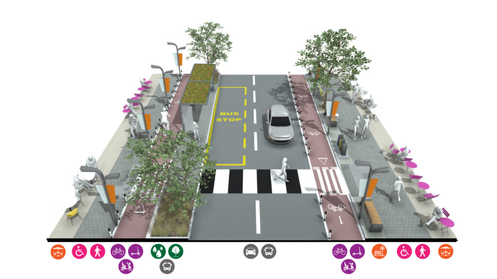
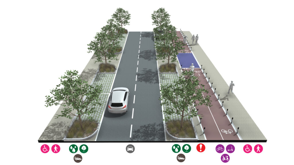
Slow active travel (walking, wheelchairs, pushchairs)
Fast active travel (cycles, mobility scooter, scooters)
Furnishing zones (furniture, lighting, dining areas)
Road infrastructure (carriageway, bus stops)
Parking (cars, deliveries, electrical charging)
Green / blue infrastructure (SUDsSuDS are a natural approach to managing drainage in and around properties and other developments. Sustainable drainage measures are ones which avoid adding to flood risks both at a development site and elsewhere in the catchment by replicating natural drainage processes. SuDS work by slowing and holding back the water that runs off from a site, alleviating flooding and allowing natural processes to break down pollutants. More, street trees)
Pedestrian footway
Wheelchair accessible
Cycle accessible lane
Scooter accessible lane
Mobility scooter accessible lane
Buffer zone for cycle lanes
Furnishing zone
Outdoor dining zone
Carriageway for cars
On-street parking and charging
Street trees
Sustainable Urban DrainageSuDS are a natural approach to managing drainage in and around properties and other developments. Sustainable drainage measures are ones which avoid adding to flood risks both at a development site and elsewhere in the catchment by replicating natural drainage processes. SuDS work by slowing and holding back the water that runs off from a site, alleviating flooding and allowing natural processes to break down pollutants. More
Developments must provide an accessible, safe, legible and comfortable pedestrian, cycling and wheelingWheeling refers to use of wheeled mobility aids, such as wheelchairs mobility scooters and walking frames. Wheeling is a term that many, but not all, disabled people identify with. It also includes prams, buggies and other modes of transport which may travel on footways, at speeds similar to walking. It excludes cycles and e-scooters. More environment set within an attractive public realm that enhances the local area. New streets must not only deliver a safe highway environment but must also deliver an attractive public realm to encourage people to make the most of active travelMaking journeys by physically active means like walking, wheeling or cycling, rather than motor vehicle. More options.
Applicants should demonstrate in their submission how this element of the code has been complied with.
Documents required:
Use the calculator below to visually see what uses can be provided in streets of different width.
Allowing for existing and future trends will ensure the street and the public realmThis is the space between and within buildings that is publicly accessible, including streets, squares, forecourts, parks and open spaces. More can function well for all purposes and still achieve high levels of pedestrian movement. This may include spill out space for cafes, bars and restaurants, electric charging points, loading bays, bus stops, rideshare/taxi drop-off areas, automated vehicles and delivery vehicles, bus gate, bus lane etc.
Applicants should demonstrate in their submission how this element of the code has been complied with.
Documents:
Nature contributes to the quality of a place, and to people’s quality of life, and it is a critical component of well-designed places. Natural features can include elements such as natural and designed landscapes, high quality public open spaces, street trees, and other trees, grass, planting and water.
Street trees should normally be planted 12-20m apart at even intervals on both sides of the street. Actual dimensions will depend on factors such as the width of plot frontage, the length of parking spaces, location of overhead and underground utilities and, critically, the proximity to street lights.
Applicants should demonstrate in their submission how this element of the code has been complied with.
Documents required:
NB: The Landscaping Plan and Site Wide Landscaping Strategy should include boundary treatment detailsThe details of a building are the individual components and how they are put together. Some are a deliberate part of the appearance of a building, including doors, windows and their surrounds, porches, decorative features and ironmongery. Others are functional, although they can also contribute to the appearance of a building. These include lighting, flues and ventilation, gutters, pipes and other rainwater details. Detailing affects the appearance of a building or space and how it is experienced. It also affects how well it weathers and lasts over time. More including:

Shallow channels that provide attenuation while also channelling water to other features such as ponds.
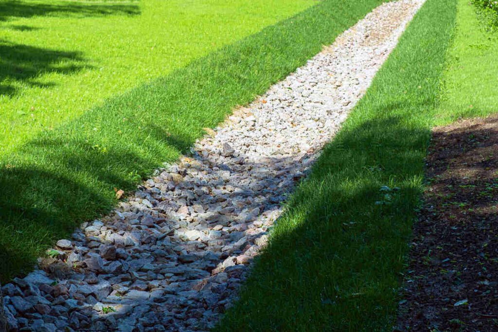
Shallow ditches and trenches filled with gravel or stones that collect uncontaminated water and allow it to percolate into the ground.
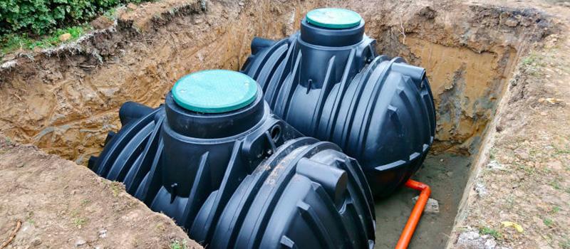
Water butts and other rainwater harvesting systems collect rainwater for use in gardens or for non-potable uses reducing water consumption.

Containers and ditches with native drought tolerant plants release water gradually and flter-out pollutants.
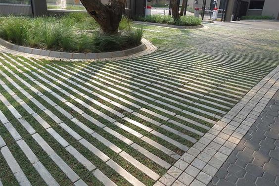
Surfaces that allow water to percolate into the ground including, natural surfaces, gravel and low traffic volume engineered road surfaces and hardstandings in front gardens.
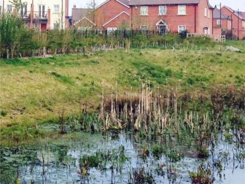
Attenuation ponds that are normally dry but fill during a rain event and then either store or gradually discharge water to the system.
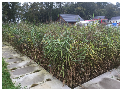
Topography can be used to create wetlands that provide attenuation capacity as well as filtering out pollutants and providing habitat for wildlife.

SuDS designed into highway provision can provide dual use benefts when integrated with street tree provision.
Sustainable Urban DrainageSuDS are a natural approach to managing drainage in and around properties and other developments. Sustainable drainage measures are ones which avoid adding to flood risks both at a development site and elsewhere in the catchment by replicating natural drainage processes. SuDS work by slowing and holding back the water that runs off from a site, alleviating flooding and allowing natural processes to break down pollutants. More
Rarely will on-street parking be an acceptable alternative to off-street parking, it should only be considered as part of a range of parking solutions. This may provide for short stay car parking to allow people to visit local neighbourhood amenities and to allow for visitor parking in new residential developments. Any on-street car parking spaces must be well landscaped including the provision of street trees, landscaping and high quality sustainable materials.
Applicants should demonstrate in their submission how this element of the code has been complied with.
Documents required:
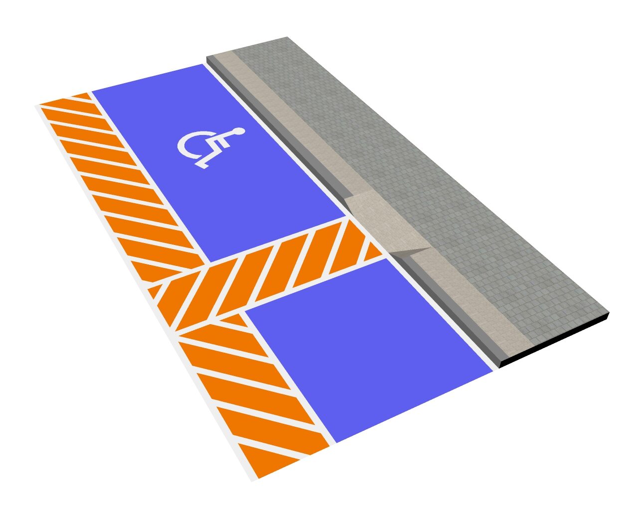
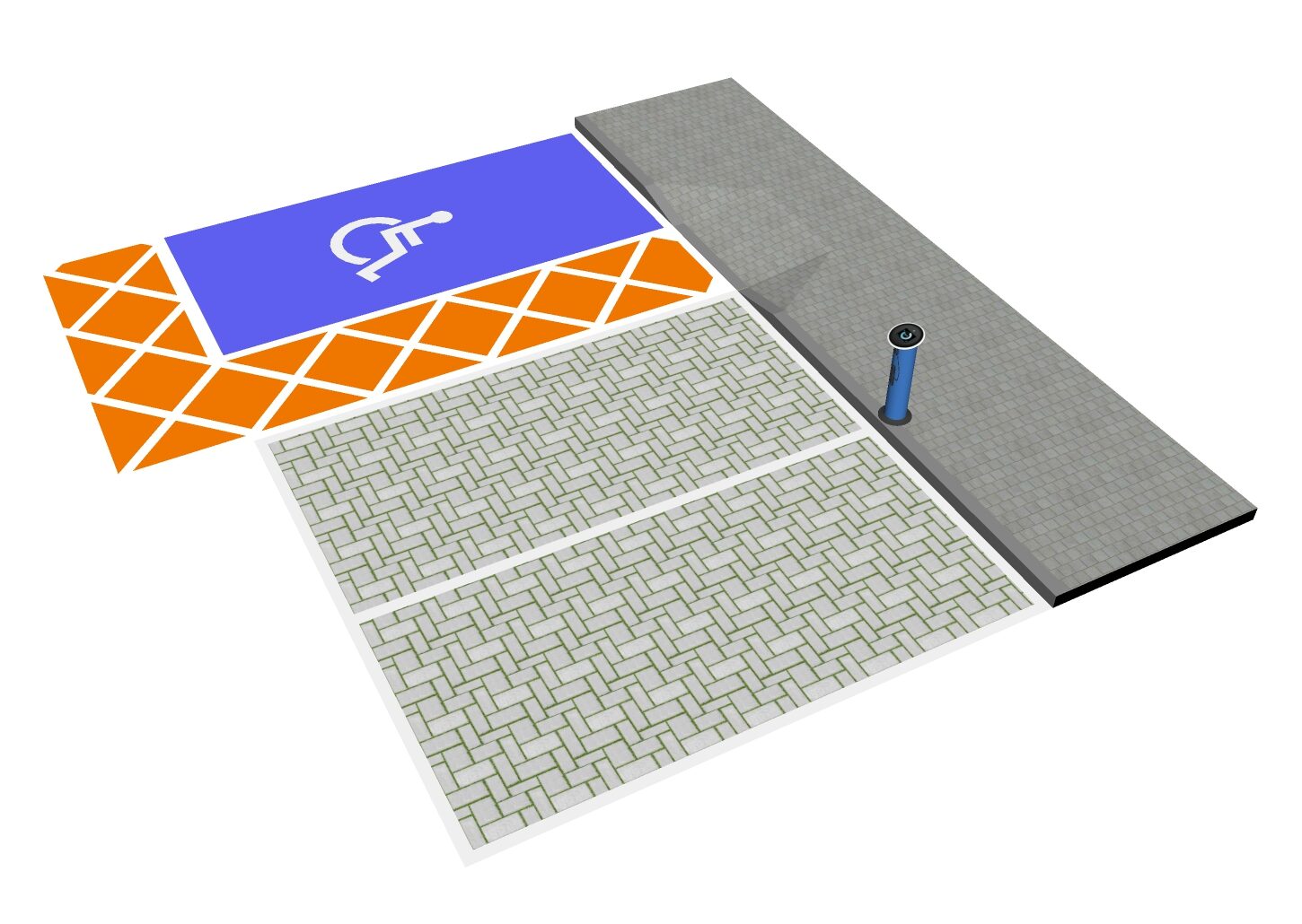
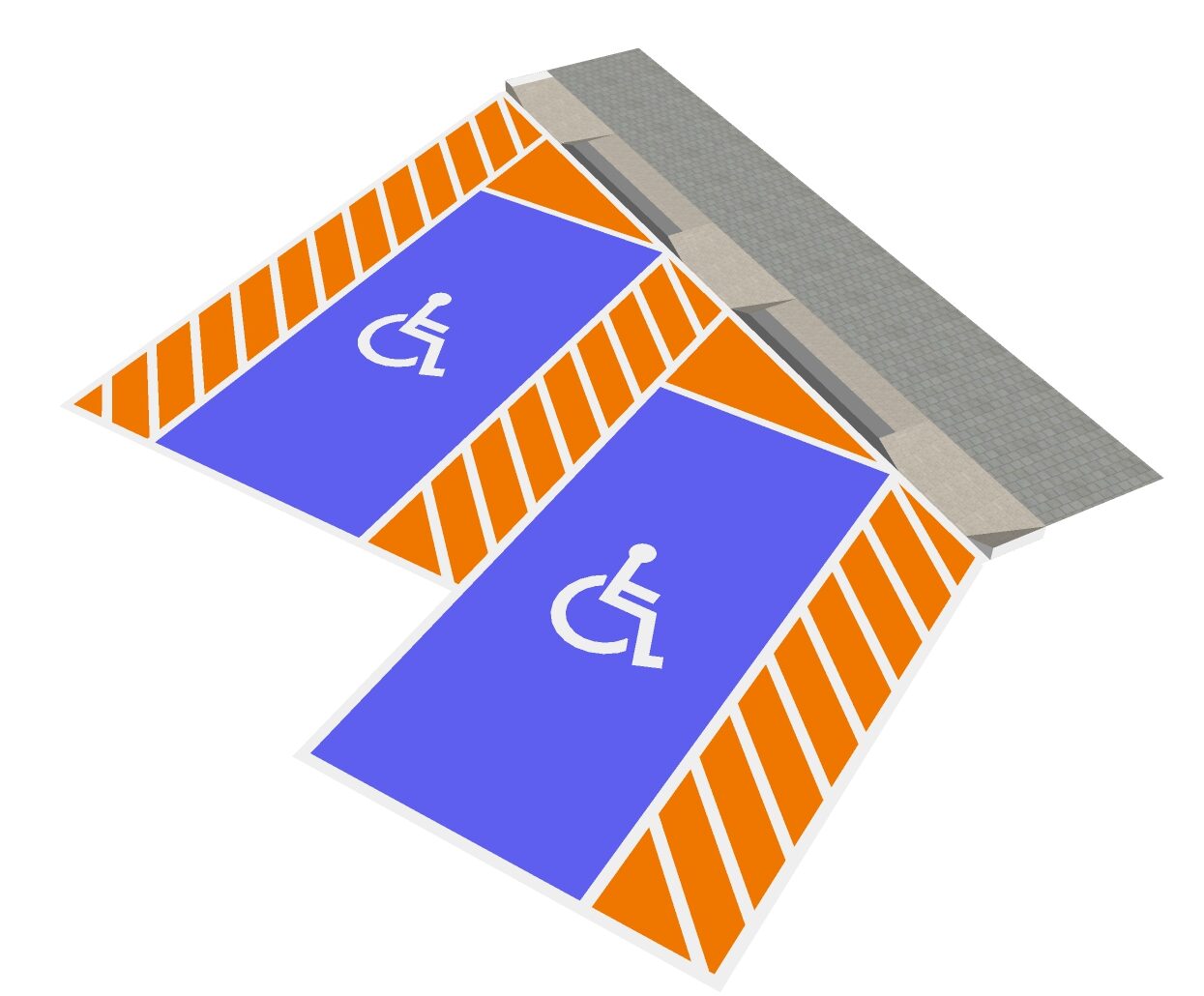
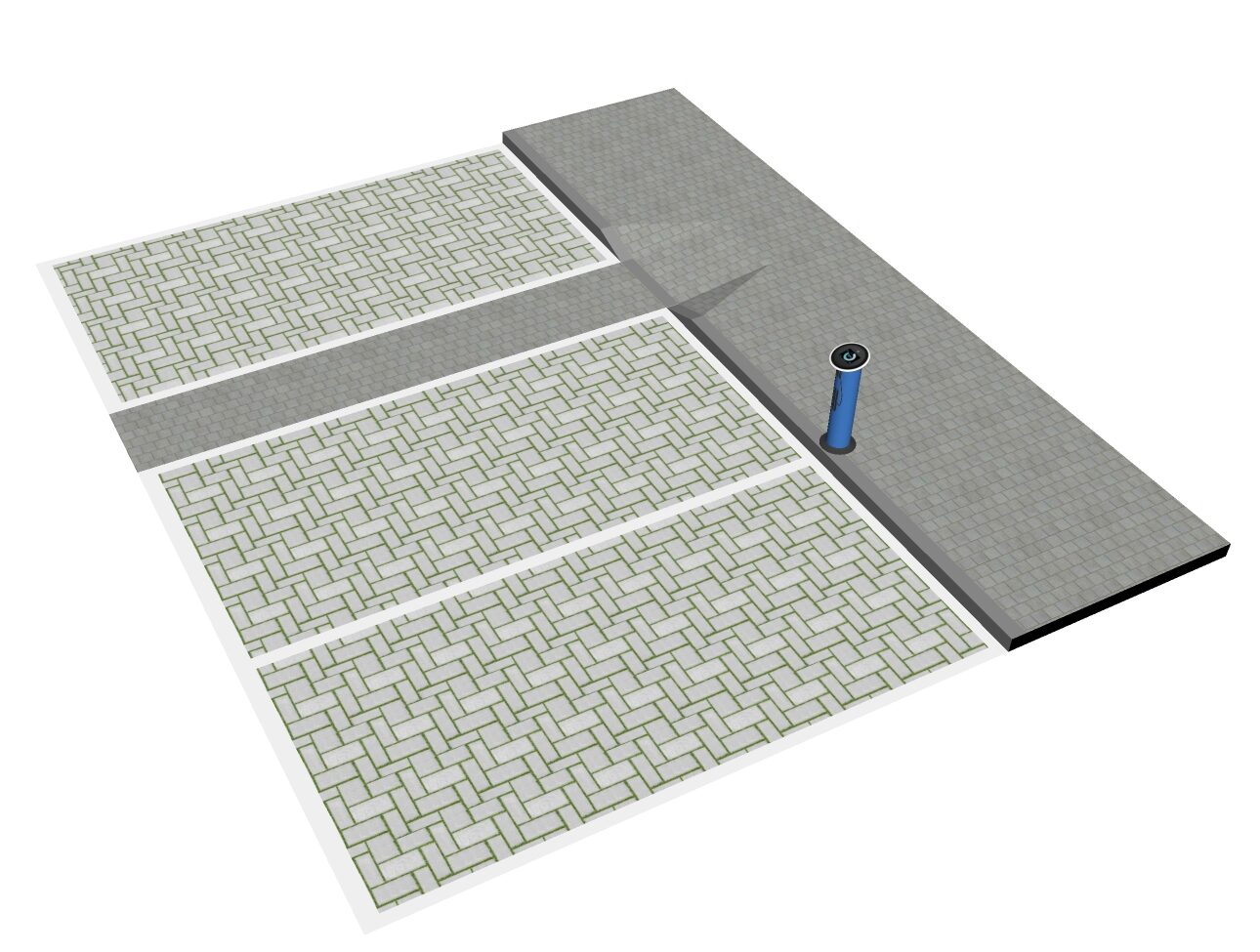
Wherever street parking is provided, accessible spaces must be provided in compliance with national regulations
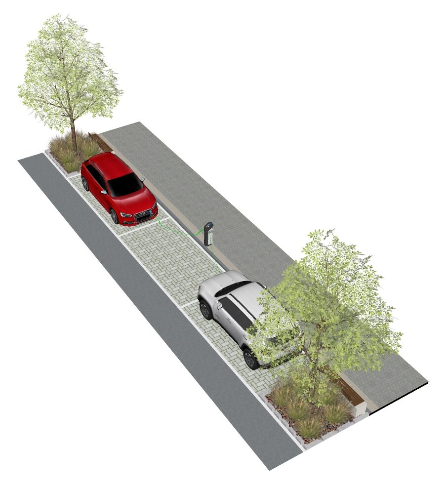
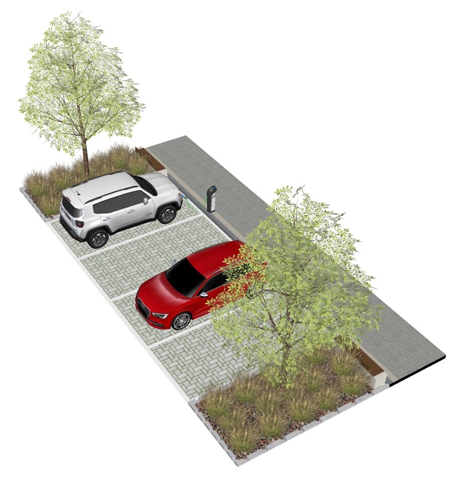
To reduce the visual impact of parking and to provide rain gardens, landscape must be integrated alongside spaces

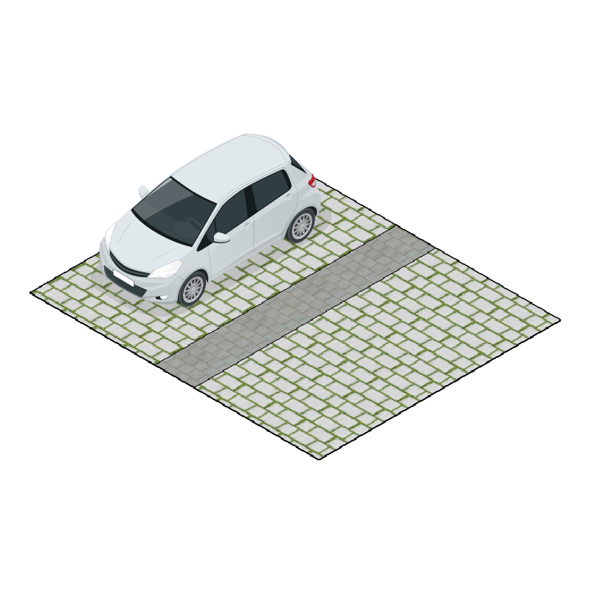

Permeable paving surfaces should be used wherever possible to allow water to naturally drain

Goldsmith Street by Mikhail Riches TBC Map Street View Map Street View Gallery
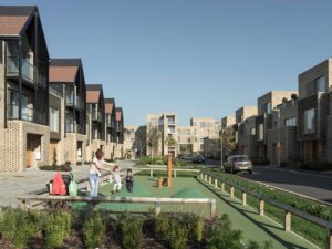
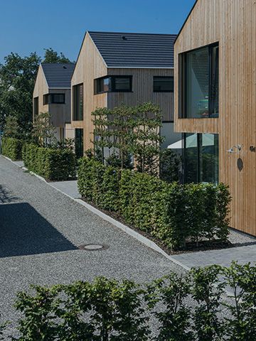
Abode, Cambridge by Proctor and Matthews / BBUK Studio Limited for Countryside Properties Timber cladding, gable ends, a pedestrian focused public realm and generous planting
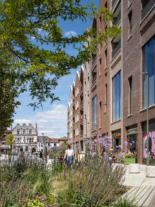
Egham Gateway master plan by Allford Monaham Morris Egham Gateway is a new mixed use developmentA well-integrated mix of different land uses which may include retail, employment, leisure and other service uses with decent homes of different types and tenures to support a range of household sizes, ages and incomes. More in the Runnymede borough of Surrey. Four mixed useA well-integrated mix of different land uses which may include retail, employment, leisure and other service uses with decent homes of different types and tenures to support a range of household sizes, ages and incomes. More
Trafford Council, Trafford Town Hall, Talbot Road, Stretford, M32 0TH
